

The Interview
Read on to discover how drones are being used to further academic studies and enhance research methodology, allowing field workers to capture sophisticated aerial data in ways never previously possible.Can you give us a brief overview of your academic background?
PC: I started out with degrees in both Physics and Engineering, then I moved onto a Masters degree in the field of fluvial geomorphology, working on sediment transport. It's in the late 1990s at PhD level that I started to do proper remote sensing and photogrammetry which I was applying to habitat assessment for Atlantic salmon. I continued this at the post-doc level. I only started using drones (sUAS) in 2007 shortly after starting my lectureship at Durham University. Since then I've been lucky to operate all over the globe in places like Svalbard, India, the Atacama desert, the Alps and, of course, the UK.What led you to study the use of consumer drones as research tools?
PC: The need to map river habitats more efficiently and over larger areas led me to use remote sensing. At first, this was from full sized aircraft. But the logistic complications and costs of using full sized aircraft are considerable. So like many in the river sciences community, I started using sUAS as a readily available, rapid-deployment, tool for mapping. An example of a drone mapping results (image courtesy of Patrice Carbonneau)
Do you pilot drones vocationally as well as professionally?
PC: I use sUAS both in my active research and in my teaching. I also enjoy doing aerobatics with a little racing tricopter, keeps my piloting skills sharp!Is Durham University looking into potential uses of drones across a number of research areas?
PC: Definitely, I know of at least 5 departments in the University that are drone users: Archaeology, Computer Sciences, Earth Sciences, Geography and Physics. The research areas vary hugely. Many of this is some for of mapping but there is a lot of technical development in Computer vision, photogrammetry and instrumentation.Could you run us through the key points of your recent study on photogrammetry & georeferencing? What did you find?
PC: Most people will know that if you run aerial stills from sUAS through software like Agisoft Photoscan, you can produce stunning 3D models and stitched images with map coordinates (called orthomosaics) with incredible ease. Traditionally, in order to use these models in any scientific or formal mapping application where strict quality standards apply, you would need to accompany your aerial survey with ground control points. These points are targets on the ground that are surveyed with high accuracy differential GPS. They're required to reduce the errors in the 3D models to tolerable levels. But this collection of GPS points is time-consuming, it implies that you can reach the area you want to image in 3D (what if you want to survey the inside of an active volcano?) and the GPS kit is expensive, usually above £10,000. Flying with the VUFINE wearable display (image courtesy of Patrice Carbonneau)
In contrast, we've now reached a point in the drone industry where you can get excellent quality imagery from drones below £1000. So I started wondering if something could be done with the new generation of consumer-grade drones that would bridge the gap and allow us to produce mapping and survey products without the expensive GPS kit. The potential here is huge because it would drop the cost of topography survey. But, the absence of ground control points will have a serious impact on the quality of the 3D models and possibly reduce them to the level of aesthetically pleasing digital objects only useable for visual display and promotional purposes.
So, in the summer of 2015, I teamed up with a colleague at Dartmouth College in the USA, Dr James Dietrich, and we each ran a set of experiments with my Phantom 3 Pro and his Inspire 1. We structured the experiments as to determine the quality limits of 3D models that are produced by directly inputting the aerial stills into the software (we used Photoscan by Agisoft Inc.). DJI drones all stamp the location of the image acquisition into the image EXIF data when the image is saved to the card. If you know where all the images were taken, in theory, you can produce a 3D model with known dimensions and map locations. This approach, where you skip the ground control is called 'Direct Georeferencing'.
Flying with the VUFINE wearable display (image courtesy of Patrice Carbonneau)
In contrast, we've now reached a point in the drone industry where you can get excellent quality imagery from drones below £1000. So I started wondering if something could be done with the new generation of consumer-grade drones that would bridge the gap and allow us to produce mapping and survey products without the expensive GPS kit. The potential here is huge because it would drop the cost of topography survey. But, the absence of ground control points will have a serious impact on the quality of the 3D models and possibly reduce them to the level of aesthetically pleasing digital objects only useable for visual display and promotional purposes.
So, in the summer of 2015, I teamed up with a colleague at Dartmouth College in the USA, Dr James Dietrich, and we each ran a set of experiments with my Phantom 3 Pro and his Inspire 1. We structured the experiments as to determine the quality limits of 3D models that are produced by directly inputting the aerial stills into the software (we used Photoscan by Agisoft Inc.). DJI drones all stamp the location of the image acquisition into the image EXIF data when the image is saved to the card. If you know where all the images were taken, in theory, you can produce a 3D model with known dimensions and map locations. This approach, where you skip the ground control is called 'Direct Georeferencing'.
LEARN MORE ABOUT DRONE MAPPING WITH OUR IN-DEPTH BLOG
But does it work? And is it good enough to produce mapping products that can be used in civilian and academic applications? In a nutshell, I think our answer would be, 'Yes if you know what you are doing'. One pitfall of the new generation of 3D mapping software based on what is called 'Structure from Motion' is that it (almost) never fails to produce visually stunning results. But if you look closely at these results, you'll often find really big errors. So a model that looks great in 3D isn't necessarily a good mapping product. You really have to know the proper flight patterns to use during the ops, then be on top of the recent academic literature on sUAS photogrammetry and finally, have some skill with Geographic Information Systems (GIS) if you want to go beyond the visually pleasing result and deliver a mapping product that is fit for civilian and academic applications.
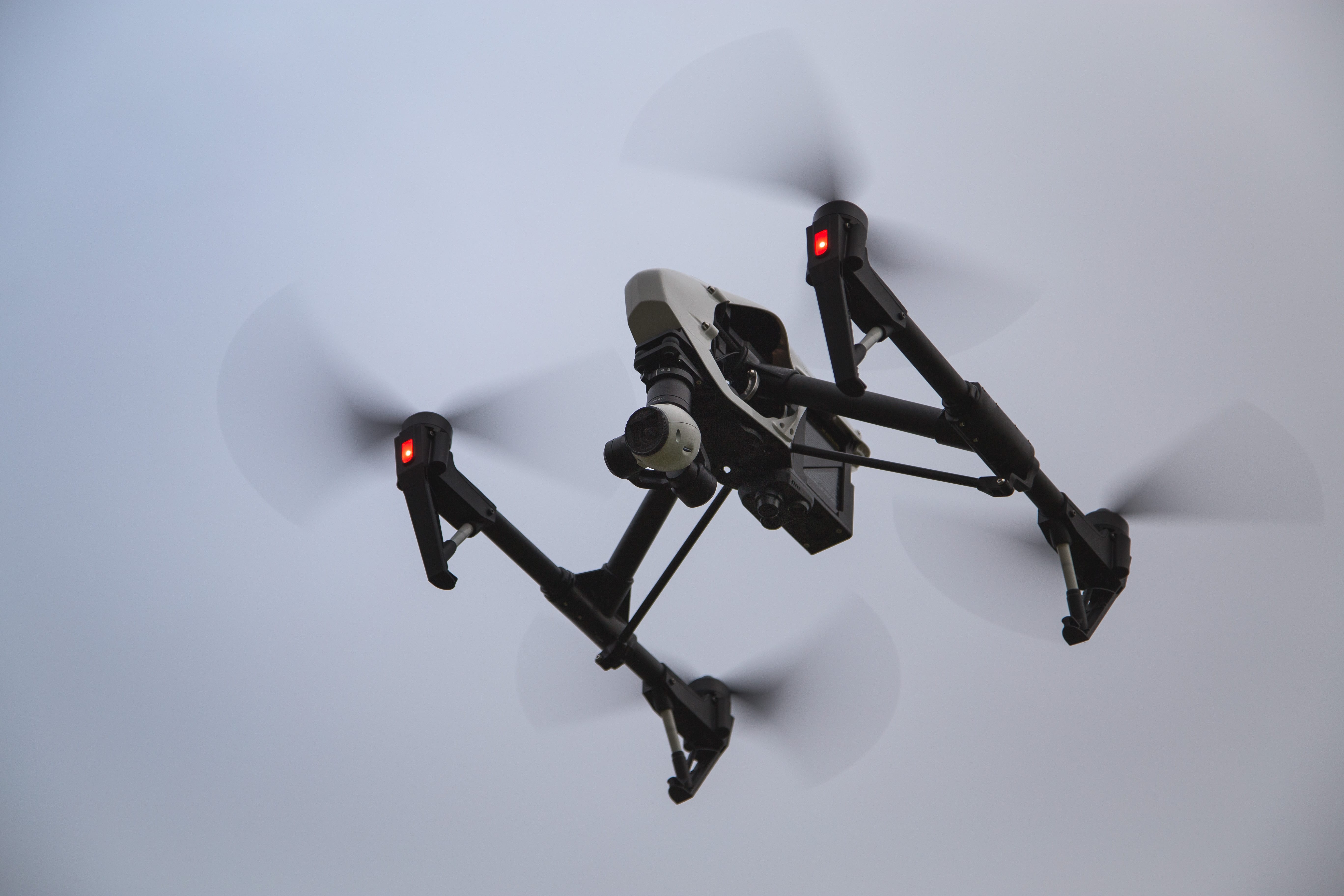 The DJI Inspire 1 is still one of the most popular drones for professionals
Do you believe that the use of unmanned aerial systems positively benefits the gathering of geographical data?
PC: It's been a game changer in two key respects. First, we can get up-to-date maps in 2D and 3D at very high resolutions (I often use the term 'hyperspatial resolutions') without needing to charter full sized aircraft. Second, this ease of mapping means that we can return to a field site and fly it multiple times to see how it evolves with the passage of the years and months. Obviously, the landscape of the Earth changes with time. These changes tell us a lot about the processes that operate to form the landscape and understanding them allows us to formulate predictions about how a field site will evolve. Before sUAS, there were very few studies where people had gone and collected airborne data repeatedly over months and years. It was just too expensive and complex. But now with sUAS being so affordable, there are studies appearing in the scientific literature where researchers have gone back again and again to a field site, done multiple flights, and are now reporting how that site has changed over time. This is just going to become more common and it's a great boon for all environmental sciences.How do you think that drones will shape the future of your field?
PC: Like I suggested above, in the short term, they are causing a bit of a revolution in mapping. Airborne mapping is no longer the preserve of big companies and national agencies. In the longer term, who knows? One important thing to watch is going to be how automated flights can be integrated into airspace. Combine that with battery technology and airframe design innovations leading to longer flight times, and we could really see geographic mapping being fully robotised by perhaps 2030.What improvements could be made to existing drone solutions to help researchers in their work?
PC: Certainly, in my field, good mapping in 2D and 3D relies on 2 key things: the quality of the camera, not just in terms of the raw megapixel count but also in terms of lens and sensor quality and the quality of the GPS position acquired by the drone. So I always watch for improvements to the sensor and lens system of the camera. A still image alongside a 3D-model of the same area (image courtesy of Patrice Carbonneau)
The Phantom 4 Pro seems to be moving in that direction, although I haven't really tested the lens system on mine yet. In terms of position quality, we're already seeing drones like the Ebee and the Matrice 600 shipping with optional differential GPS. These are still quite expensive, but with time we can expect the cost of these features to drop as well.
A still image alongside a 3D-model of the same area (image courtesy of Patrice Carbonneau)
The Phantom 4 Pro seems to be moving in that direction, although I haven't really tested the lens system on mine yet. In terms of position quality, we're already seeing drones like the Ebee and the Matrice 600 shipping with optional differential GPS. These are still quite expensive, but with time we can expect the cost of these features to drop as well.
Is there a specific software you would recommend for planning your flight missions and visualising the resulting data?
PC: I use a lot of Geographic Information System (GIS) methods to plan my flights. The CAA regulations have many rules that are expressed as proximity limits, such as being 150 meters away from congested areas. GIS software lets you establish buffer zones around specific features that show you the effective no-fly zones you should enforce. This lets you plan flights that are within the regulations. Not only will it let you identify your ops area correctly and within CAA rules, but you can also open your final 2D orthomosaics and digital elevation models and check that everything went to plan.HELIGUY IS AN OFFICIAL SUPPLIER OF DRONEDEPLOY - FIND OUT MORE
Most universities have a package called ArcGIS which is commercial, but there's a free open source alternative that is called QGIS which I also use a lot. Then for actual 3D visualisations, I use another open source package called CloudCompare. This package is specially designed to work with 3D point clouds (the outputs of photogrammetry). It lets you examine your results and, as the name suggests, compare multiple point clouds. This is ideal in cases where you have got the multiple flight data and are in a position to look at changes in a landscape.
What readily available consumer drones would you recommend to people looking to conduct their own research?
PC: So far, it seems that nobody has been able to provide some hard, long-term, competition to DJI. This is true in mapping as well as aerial videography and photography. When DJI brought out the Phantom 3 series, they got 2 key things right: They abandoned the fish-eye lens and they got the GPS position stamped into the EXIF metadata of each image. This really improves the quality of mapping and it simplifies the workflow. And then, of course, there's the cost. So you see a lot of Phantom 3s and 4s and Inspire 1s in geography departments. Phantom 3 and 4 drones are also commonly used by researchers
Personally, I prefer working with Phantoms because they are much easier to handle during air travel and once there, much easier to carry to field sites in cases where you have to hike in.
Phantom 3 and 4 drones are also commonly used by researchers
Personally, I prefer working with Phantoms because they are much easier to handle during air travel and once there, much easier to carry to field sites in cases where you have to hike in.
Are you planning any future projects with drones?
PC: Quite a few. There are two which are now starting up. First, I'm working with colleagues in India to develop an sUAS-based method to monitor pollution in the river Ganges. We're starting a project which has been funded to mount a hyperspectral sensor (basically a flying spectroscopy lab) on a military grade drone built by the Indian Institute of Technology in Kanpur. Second, I'm starting another project in Portugal, this one more focussed on Archaeology. There are many stone circles around the town of Evora and the soil erosion around these is very bad, so we're starting a monitoring program that will measure soil loss on a seasonal basis to see exactly how bad the problem really is. We'll also be doing some photogrammetry of the rock art carvings and again see the conservation state of 7500-year-old relics....
Keep checking back to Heliguy's Insider blog for more exclusive interviews, insights into the use of drones in a commercial setting and, of course, the latest news from the industry.

Leave a comment